Over 30.000 buildings and over 5.000 kilometres of roads captured on the map: in a nutshell the result of the Mapping Party that was held on Monday 14 November.
Around 300 volunteers at locations in Enschede, Delft and Nairobi worked on improving the open source map of Malawi, by analysing satellite images. The Mapping Party provides valuable input for further development of the African country. Now, the Red Cross and the University of Twente’s ITC Faculty will make sure the collected data will be made available for use in practice.
Mapping Party
During the Mapping Party, the 300 volunteers mapped the structure of Malawi, based on satellite images, on OpenStreetMap: a detailed, open-source map of the world. Local volunteers will later add local information, for example on schools, sanitary provisions, hospitals and water points. In that, the Red Cross and ITC will collaborate.
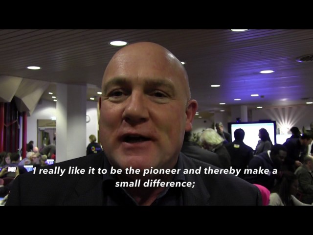
Her Royal Highness Princess Margriet, who is former vice-chairperson of the national board of the Red Cross and initiated the Red Cross Princess Margriet Fund, visited the mapping party in Enschede. André Kuipers, ESA astronaut and ambassador for the Red Cross, gave an inspiring key note on bringing satellite images into practical use for society.
Collaborative approach
The Faculty of Geo-Information Science and Earth Observation (ITC) of the University of Twente and the Red Cross work together to make research of the institute available for tackling societal challenges as in Malawi. For example, students, supervised by ITC’s scientific staff, work on joint projects regarding the vulnerability of groups of people and how mapping and satellite images can play a role in finding solutions.
Also, events like the mapping party provide valuable insights in the quality of data obtained by volunteers in crowdsourcing activities. “It helps us learn more on how these type of activities can be valuable to society”, says dr. ir. Rob Lemmens, assistant professor in geo-informatics at ITC and one of the initiators of the Mapping Party. “Data is obtained by all different people, some is of high quality, some does not meet our standards, so in a next step we will validate the outcomes of the mapping. We do get a clear view of the quality and ways to improve that.”
Importance of mapping
Good mapping material is essential for strengthening vulnerable places around the world. Places which are suffering from epidemics, conflicts, natural disasters, poverty or environmental problems, for example. Mapping helps governments to make better (policy) decisions and aid organisations to offer better assistance, because they have more knowledge in advance about medical activities and the distribution of needed relief supplies. In cases of disaster, they are able to react better and quicker. Malawi is such a vulnerable place. The south of the country suffered a major flood in 2015. More than a quarter of a million people were affected by this natural disaster.
Crowdsourcing
The event of Monday 14 November has been linked to the international Missing Maps initiative. Missing Maps is an international crowdsourcing platform through which people from all over the world contribute to the augmentation of the world map on OpenStreetMap. In doing so, they focus on the world’s most vulnerable spots. More than 15,000 people are involved and, together, they have contributed more than 24 million updates. So-called mapathons are being held all over the world to bring the map more up to date, little by little.
Our photographer Gijs van Ouwerkerk captured the event in pictures. Crowdfunding has been started by the Red Cross for making the Missing Maps initiative in Malawi possible, via their crowdfunding platform Voorkomderamp.


