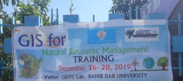
GIS Training for Natural Resource Conservation Experts
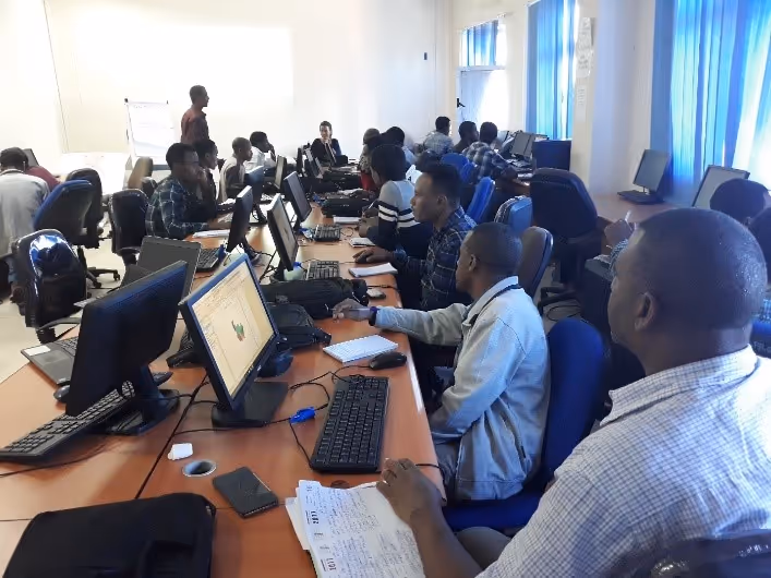
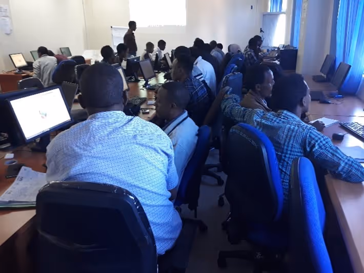
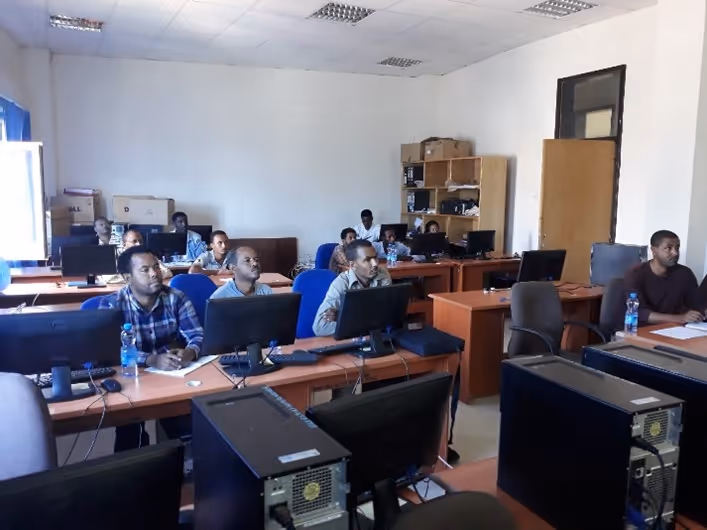
As part of the outreach program, Geographic Information System (GIS) and remote sensing training was provided to 23 Development Agents (DAs). The core of the training was the application of geo-information and earth observation techniques in support of natural resources management (NRM). The training provided participants with knowledge and skills needed for the collection, interpretation, and management of spatial information, using remote sensing and geographic information systems, to support planning and decision-making processes in natural resources management. The training concentrated on methods for assessing the state of the resource base and the changes that occur and progresses to the assessment of impacts and societal response.
The training incorporated the following topics:
- Introduction to GIS and Remote sensing and its relation to NRM
- Working with ArcGIS environment
- Extracting geographic features from Google Earth for NRM
- Collecting data using GPS for ground verification & displaying in ArcGIS
- Integrating spatial with non-spatial data
- Analysis of the data collected
- Watershed delineation for development planning
|
|
|
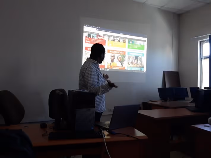
Public lecture for the academic staff & postgraduate students
Tegegn Molla, who is one of the PhD candidates of the EENSAT project, provided a public lecture for the academic staff and postgraduate students of Bahir Dar University. The title of his presentation was “GIS Solutions for Community Development”. In his presentation, he addressed how the GIS technology evolved trough time, how it transforms from a niche technology used by specialists to an integrated information technology used throughout an organization, and how the community development professionals are rapidly embracing GIS as a basic tool for doing their duties.
|
|
More recent news
 Thu 16 Jul 2026Veni grant for three UT researchers
 Wed 15 Jul 2026Globally unique measurements in Enschede to improve the prediction of urban heat stress
 Tue 14 Jul 2026UT professor Cristian Hesselman contributes to advice on strengthening the resilience of the Netherlands’ telecom and internet infrastructure
 Mon 13 Jul 2026From a Twente idea to a global company: Geert-Jan Bruinsma receives the Van den Kroonenberg Lifetime Achievement Award
 Thu 9 Jul 2026NWO grants awarded to four UT researchers