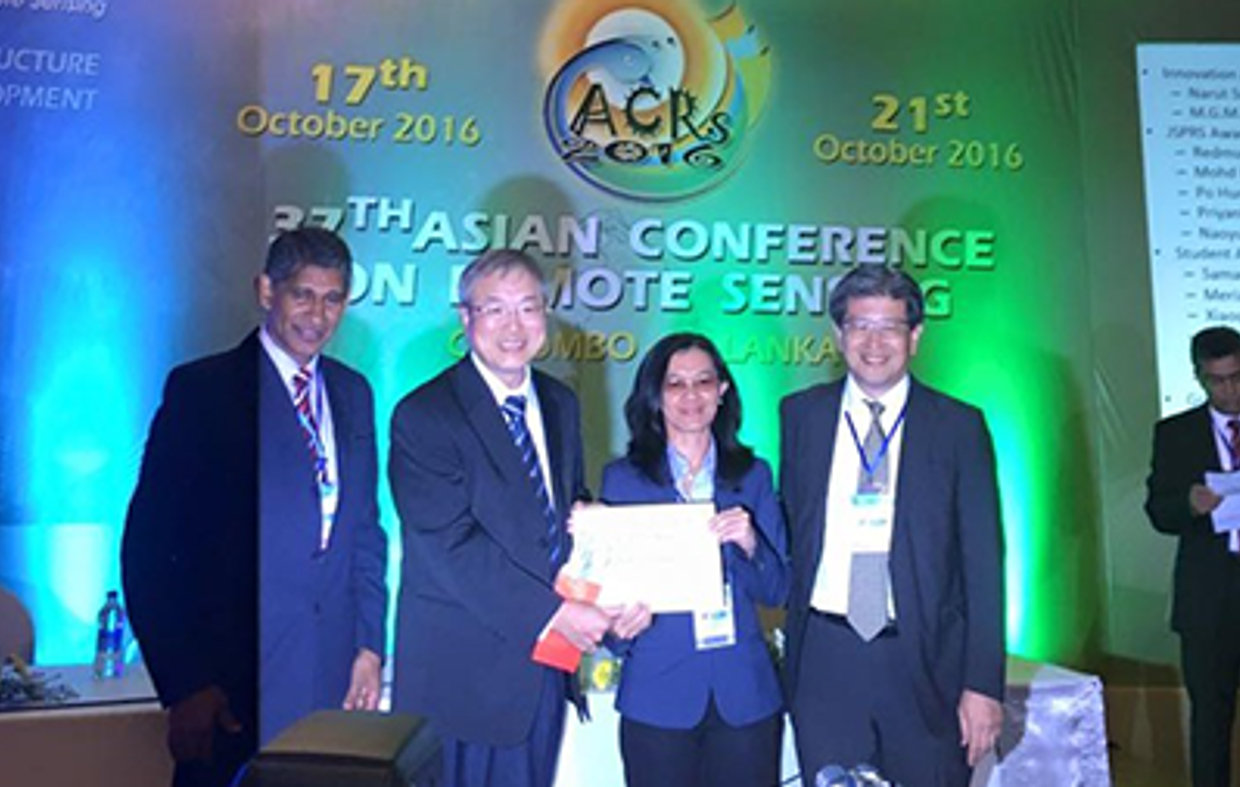
At the Asian Conference on Remote Sensing (ACRS 2016) held in Colombo (Sri Lanka), Ratna Sari Dewi, who is a PhD candidate at ITC's department of Earth Observation Science, received the “Green Asia Award” from Chinese Taipei Society of Photogrammetry and Remote Sensing. The award is given to a paper that brings Asia towards a green environment using remote sensing technology. The award certificate was presented by Prof. Peter Shih, Prof. Kohei Cho, the General Secretary of Asian Association of Remote Sensing (AARS), and P.M.P Udayakantha, chairman of the local organizing committee, during the closing ceremony of ACRS 2016.
Multi-Temporal Image Analysis for Monitoring the Changes in Fuzzy Shorelines
The paper titled “Multi-Temporal Image Analysis for Monitoring the Changes in Fuzzy Shorelines” was co-authored by Prof. Alfred Stein and Dr. Wietske Bijker. The paper presents a method to identify shoreline positions and their changes as a fuzzy area including a measure of change confusion. This study focused on a flood-prone area in the north of Java where the changes of shoreline are associated with coastal inundation and land subsidence. Shoreline changes could be detected, and the method provided information regarding the change magnitude and the trend of water membership in every pixel. Our results reveal that this information represents specific type of change processes and shows a multi-year pattern of water membership changes over time. We can conclude that the proposed method can assess changes in a shoreline by taking into account that it is a fuzzy boundary. The change area estimation, change magnitude and direction of the shorelines may support local government and stakeholders in monitoring the change of fuzzy shorelines. Shoreline mapping and monitoring are also needed to support efforts to recover the eroded land and to reduce the rapid shoreline degradation.
For further information regarding the conference, check http://www.acrs2016.org/.


