Collaborative Spatial Learning for Improving Public Participation Practice in Indonesia
Due to the COVID-19 crisis the PhD defence of Aulia Akbar will take place (partly) online.
The PhD defence can be followed by a live stream.
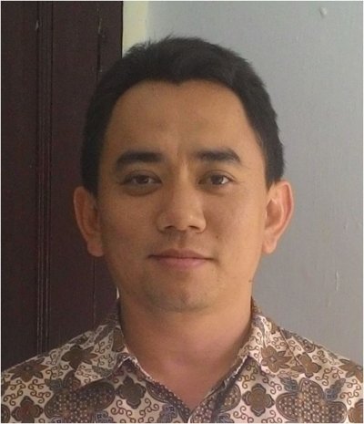
Aulia Akbar is a PhD student in the department of Urban and Regional Planning and Geo-Information Management (PGM). His supervisor is prof.dr.Martin F.A.M. van Maarseveen from the Faculty of Geo-Information Science and Earth Observation (ITC).
 This study aims to investigate the role of collaborative spatial learning and the geospatial data in localising the SDGs while strengthening the public participation practice in rural areas. An annual participatory planning meeting in Indonesia, the Musrenbang was used as the case study. The study was conducted in five villages in Deli Serdang district, Indonesia, divided into three villages with interventions and two villages as the control group. In the intervention group, the villages participated in a digital or non-digital participatory mapping workshop to produce their village maps. In the control group, no mapping workshops were conducted to create village maps.
For the first objective, an SDGs evaluation framework was developed based on indicators 11.3.2 and 16.7.2, and then the framework was used to evaluate the Musrenbang implementation in all case study areas.
For the second objective, this study aimed at understanding the spatial knowledge of the stakeholders involved. The analysis was used to foresee the potential of spatial knowledge in strengthening the participatory process of the Musrenbang as well as to fill the geospatial data gaps in the case study areas.
For the third objective, a collaborative spatial learning framework was developed to strengthen the Musrenbang implementation and tested the framework in three villages included in the intervention group of the case study areas. The framework was implemented through digital and non-digital participatory mapping workshops.
For the fourth objective, the focus was to investigate how the participatory village maps produced from the previous mapping workshops, could strengthen the Musrenbang implementation, particularly in enabling communication and collaboration among the participants. Using criteria from the SDGs evaluation framework discussed in first objective, the Musrenbang implementation in five villages in the study areas was evaluated.
This study contributes to the discourse on the drivers of public participation practices in the global south. This study also informs scholars and policymakers to invent and take innovative approaches such as collaborative spatial learning to strengthen public participation practices and achieve the SDGs in the local, rural contexts.


