In essence, this Master’s is about tackling complex, large-scale challenges with spatial information.
How can you make cities resilient to climate change? And how can you ensure food and water security in East Africa? Through various case studies, you will learn to break down a problem into manageable pieces and come up with creative and multidisciplinary solutions. To be able to do this, you will need specialist knowledge in the field of spatial engineering, but general competencies and skills are just as important. These two aspects are represented in the curriculum through the core knowledge domains and the skill learning lines.
Core knowledge domains
In this Master’s, you will gain knowledge in three core domains: Spatial Information Science, Technical Engineering and Spatial Planning & Governance. These fields are highly intertwined. You will need knowledge in all three domains, but throughout your studies, you can choose your own focus. At the end of your Master’s, you should be able to demonstrate in-depth knowledge of at least two of the three domains, and adequate knowledge of the third.
Skill learning lines
In your future career, you cannot just rely on expert knowledge in the field of spatial engineering. You need general competencies as well. For example, you need to be able to work in multicultural and multidisciplinary teams, manage large-scale projects and you need a scientific approach in solving problems. The skill learning lines are embedded throughout the whole programme and will help you gain competencies within these various fields.
For example, within the Academic and Research Skills learning line, you will learn more about academic writing, research methods, conceptual frameworks, data management etc. The International and Intercultural Competences learning line will familiarise you with e.g. cultural theories and biases, social processes, and values. In the Project Management and Teamwork Skills learning line you will learn about project planning and (the basics of) budgeting, identifying personal strengths, monitoring and evaluating performance and becoming familiar with various support tools for project management.
Programme video
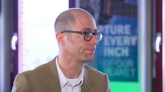
In this 9-minute video, Programme Director Thomas Groen tells you all about the concepts, content and structure of the Spatial Engineering Master's programme.
Related master’s
Not sure if this Master’s is exactly what you’re looking for? Maybe another related master’s at UT suits you better:

