Geodata as a remedy against pollen allergies and tick bites
Prof. Raul Zurita-Milla is working on solutions for daily life challenges through geospatial data. Thanks to his work, we now understand better seasonal processes such as the arrival of spring or the risk of getting a tick bite.
He is not a library rat, Zurita-Milla emphasizes. He came to Twente to have a societal impact, to help to solve real-life problems. In his case, problems related to the green environment. For instance, the use of satellite images to map crops and their general health. Or, problems linked to climate change, which is disrupting vegetation seasonality and causing a wide range of public health issues.
The overall view
The earth’s pulse is continuously monitored by many different sensors. Yet, their data is often not optimally fused, nor used to address key societal problems. The challenge of Zurita-Milla is to squeeze and filter out actionable geo-information from a wide variety of observational datasets and geospatial products. “There are a lot of specialists who operate in semi-isolation and only work with data from a particular sensor. You can compare the situation with that of various medical specialists like cardiologists, neurologists, or pulmonologists treating a patient independently and not talking to each other despite knowing that in the human body everything is connected. In this case, one can argue that none of the specialists has the required overall view. I like connecting data and ideas. Data is power and when combined and properly analyzed it is even more powerful. My drive is to integrate and analyze all kinds of data sources and geo-computational methods to help to solve environmental problems.”
Pollen allergies
Geographical data is complex and requires specialized solutions. The main theme of Zurita-Milla’s work is the design of methods and techniques to both extract patterns from large collections of data and to create data-driven models. An important thematic application is to understand the impact of climate change on our planet. Over the past years, Zurita-Milla has studied how the timing of flowering and other biological events is changing. By integrating data collected by citizens with data collected by satellites and advanced computational solutions, Zurita-Milla found changes in the timing of spring arrival. This finding has important implications. Not only ecological but also related to public health “It’s important that hay fever patients take their medication at the right moment, to prevent health problems,” Zurita Milla says. “Together with the biologists and medical doctors, we aim to develop a tool that tells patients not only when to take their mediation. The tool could also advise municipalities about the type of trees to plant in public gardens so that people do not suffer from pollen allergies.”
App against ticks
Another example of the impact of climate change is the increasing occurrence of ticks, a potential source of diseases such as Lyme. Zurita-Milla and his colleagues from Wageningen University have developed a model to forecast when and where tick are most active. The model is presented as a mobile phone app, which warns users after they have visited an area with many active ticks so that they check their bodies for possible tick bites.
Education
Passing knowledge is in Zurita-Milla’s DNA. When he was a university student, he started to give private lessons in mathematics, physics, and chemistry to high school students. Now, in Twente, he teaches Spatio-temporal modelling and big geodata processing. “Important for me are the discussions in the class with students, to encourage critical thinking. The goal is to solve real-life problems and that data and methods are well contextualized.”
Zurita-Milla also co-founded the Open Science Community Twente to learn, share and discuss. “A lot of scientists focus on publishing in exclusive journals because they think it’s good for their cv. They build high walls to protect their ‘kingdom’ and consider their data and/or methods as personal treasures. I don’t want walls. I want that scientists share what they know with everyone for the benefit of humankind. Through the Open Science Community, we hope that more scientists understand the importance of sharing their ideas and research outputs so that scientific discovery moves forward faster. This requires a shift in academic culture.”
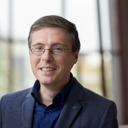
About Raúl Zurita-Milla
Raúl Zurita-Milla (1978) is a professor at the Faculty of Geo-Information Science and Earth Observation (ITC). He obtained an agricultural engineering degree from the University of Cordoba (Spain) in 2003. The same year he also obtained an M. Sc. Degree with distinction in Geo-Information Science from Wageningen University (the Netherlands). His PhD research in Wageningen (2004-2008) focused on the use of Earth Observation sensors for mapping and monitoring heterogeneous landscapes.
In 2008 Zurita-Milla joined the Faculty ITC of the University of Twente, where he is a professor of Spatio-temporal analytics. He is also an elected member of the Phenology commission of the International Society of Biometeorology and one of the founders of the Open Science Community Twente.
Press Photos
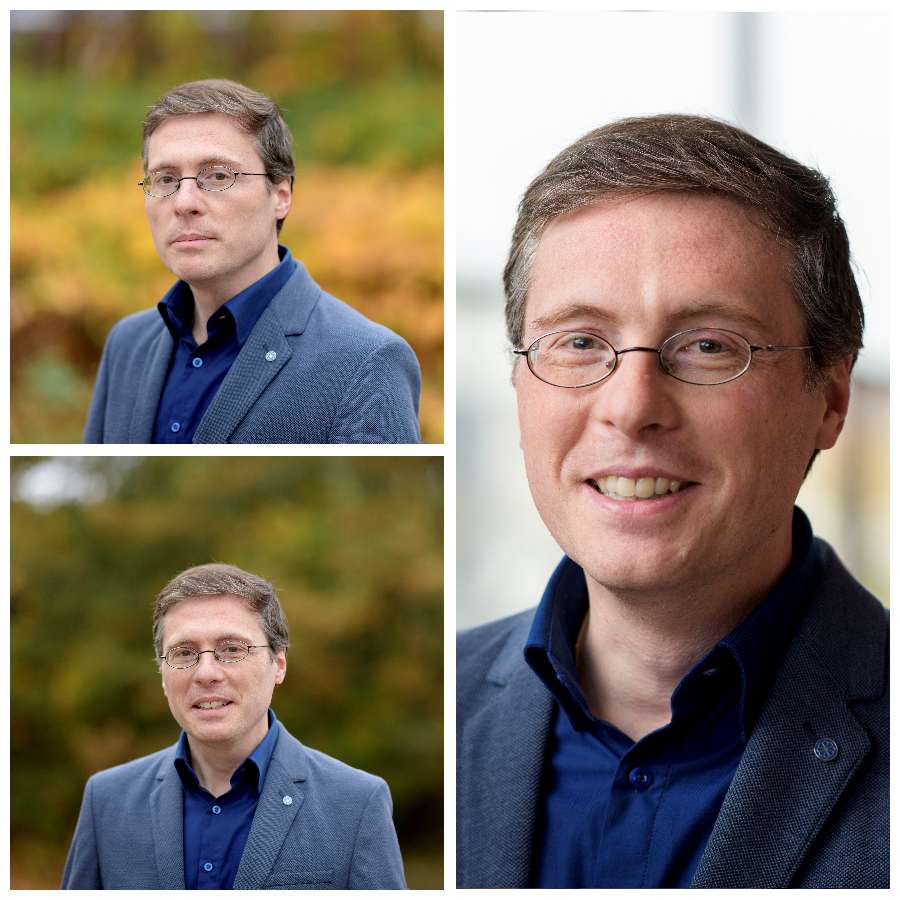
Klick on the image to open the press photo folder. These photos are free to be used for publications. Please mention Fokke Eenhoorn, photographer.