Weighing water from space
Looking upwards to better understand the water cycle on Earth: this might sound like a paradox, but it is exactly what Roelof Rietbroek does. Using public data from satellites he is able to determine the mass and levels of oceans, rivers, and lakes, in places where this is difficult to measure on Earth. This data can help governments, but also farmers, gain more insight into the effects of climate change.
For assistant professor Rietbroek’s research, the following applies: the further away, the more you can see. Floating in a boat on the sea, you can get an impression of the water mass, but it is difficult to measure water levels on the spot. With satellites that register the minutet gravitational changes and changes in water levels, it is possible to measure water movements and in this way map the water cycle on Earth.
‘Satellite measurements from the gravity mission GRACE are extremely sensitive’, explains Rietbroek. ‘You can compare this to the change in speed that occurs when you are driving on the motorway and have a collision with a cricket on your windshield.’ In order to get the most accurate figures, Rietbroek combines various measurement methods that all have their strengths and weaknesses, but provide a clear image when combined.
The figures also show the dynamics between sea levels and water on the surface. ‘A lot of water moves in the form of water vapour and rain through the atmosphere to land. Part of this water returns to the sea via rivers. On a global level, we can observe that this water cycle is intensifying but these patterns are less visible at regional scale , for example due to weather fluctuations. More insight into this is important for policymakers and farmers.’
Using the VIDI funding he was awarded in 2022, Rietbroek plans to painstakingly study the water cycle in two areas: the area around the North Sea and in the Horn of Africa. ‘The problem is that the predictions for the Horn of Africa are that it is going to become wetter, but in practice we see that precipitation figures are going down and we observe serious droughts. A combination of additional vaporisation and less precipitation as a result of global warming may be the cause.’
‘It is important to study what is happening there’, says Rietbroek, who hopes to get a clear view of what is going awry in the regional water cycle by analysing satellite data. ‘Both areas are home to large populations. Extreme drought endangers food security. In my view, it is important that society harnesses itself against climate change.’
Education
In his capacity as a researcher Rietbroek takes a deep dive into the figures, and he does more or less the same thing on field days with students, when he can sometimes be found in his wellington boots along the shores of the river Dinkel. He coordinates a course on surface water and supervises project groups that focus on themes such as food and water security in Iran. These are important subjects that deserve the attention of more students, he believes. He also supervises PhD candidates.
‘Contact with students always energises me. Students challenge you to look at the material in a different way, and international students also share their own experiences and perspectives. It is particularly interesting when students are able to make new connections. We also try to promote this by having students look at solutions from a commercial point of view, for example by having them pitch a business idea similar to the British TV show Dragons’ Den.’
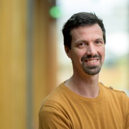
ABOUT ROELOF RIETBROEK
Roelof Rietbroek is an assistant professor in the field of Geo-Information Science and Earth Observation. His speciality area is geodesy, the science that attempts to map the shape, tilt and gravity of Earth as accurately as possible. He distinguishes himself by combining various measurement methods and in doing so embraces open data and software. Using the VIDI funding he was awarded in 2022, he is able to further cultivate his field of research. Roelof Rietbroek studied Aerospace Engineering in Delft, which is when he discovered that he was more fascinated with understanding what satellites measure, rather than building them. He obtained his PhD and taught at the University of Bonn, worked at the GFZ Helmholtz Centre Potsdam and began working at UT in 2020.
Press photos
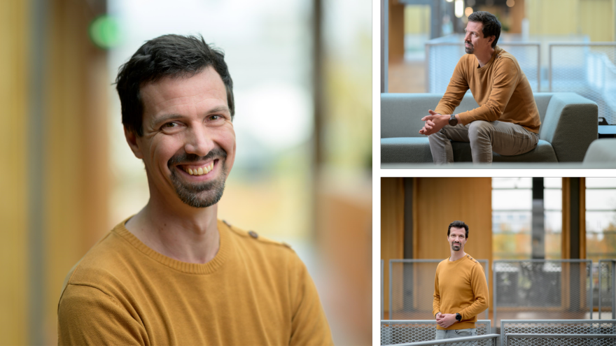
Please include the name of the photographer, Fokke Eenhoorn, by using these press photos.