Deltares develops state-of-the-art numerical models for clients around the world. The department of river dynamics works on improving the methods used for the set-up, calibration and validation of river models. This Msc. graduation topic focuses on investigating possibilities to calibrate the main channel and floodplain roughness.
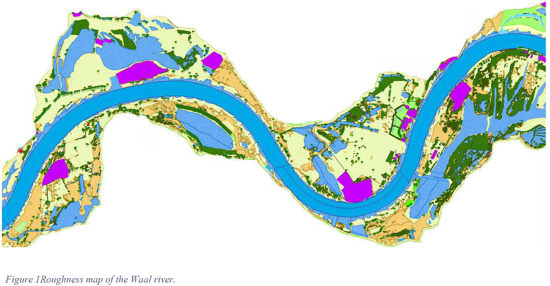
Traditionally, hydrodynamic calibration of river models is based on water level and discharge measurements at specific, fixed locations. During the calibration, the main channel roughness is altered until simulated water levels are close to observations. When calibrating the roughness of hydrodynamic models, the number of unknown roughness values should be equal to the number of measurement locations used for calibration in order to obtain a well-posed problem. There are however many possibilities to select these unknowns. In general, those parameters that introduce the largest uncertainty in model results should be treated as unknowns in the calibration. The goal of this research is to investigate which selection of unknown roughness values provides the most robust model results. An important aspect of this investigation is the treatment of main channel and (vegetated) floodplain roughness: should both areas be included in the calibration and if so, what is the best way to do this?
Steps include:
- Uncertainty analysis for different roughness parameters (in main channel and floodplains)
- Selection and implementation of promising calibration methods for further testing
- Model calibration and validation
Supervision


Are you interested in this assignment? Contact the Master thesis coordinator.
