Courses
 3d modelling for city digital twins
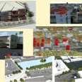
The 3D Modelling for City Digital Twins elective course, spanning 10 weeks starting in November, focuses on the comprehensive utilization of geospatial information for the creation of intricate urban replicas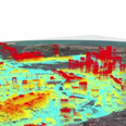 Laser scanning
The Laser Scanning elective course, spanning 10 weeks starting in April, provides an in-depth exploration of modern laser scanning technologies, encompassing airborne, terrestrial, and mobile applications.