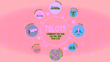
 TSLOTS Community Day 2026On 9 July 2026, the TSLOTS network is hosting a Community Day bringing together industry, organizations, and research partners dedicated to transportation, mobility, and logistics. This interactive, hands-on meeting invites TSLOTS network members to exchange knowledge, share perspectives, and actively collaborate on shared challenges.Read more
 Risk & Resilience Festival - Digital AutonomyOn Thursday, 5 November 2026, the campus of the University of Twente will host the Risk & Resilience Festival. This edition focuses on a theme that is becoming increasingly urgent for organisations and governments: digital autonomy.Read more

