The two-year Master's programme in Cartography, will receive support from the European Erasmus+ programme for another three cohorts after 2018.
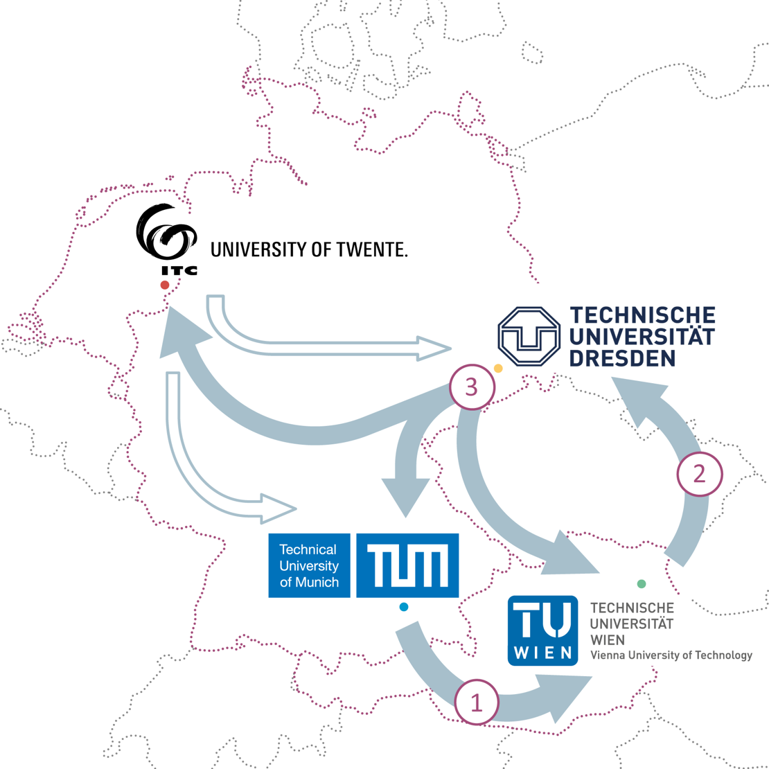
The master has been run jointly by the University of Twente's Faculty of Geo-Information Science and Earth Observation and the technical universities of Munich, Vienna and Dresden since 2015. Extended funding of this kind is unusual and is the reflection of the excellent results achieved during the first years.
The partner universities will be able to award a total of 48 scholarships to talented students from all over the world in the coming years. The universities are jointly responsible for the programme as a whole, but each has separate responsibility for the quality and implementation of one of the four semesters that make up the two-year programme. Students of the programme spend time at four different universities. The UT’s Faculty of Geo-Information Science and Earth Observation is responsible for coordinating and implementing the fourth and final semester, during which students carry out Master’s research and write their final Master's thesis. The faculty also offers various online lectures throughout the two-year programme.
Joining forces to provide outstanding international education
The Erasmus Mundus programme in Cartography is an excellent example of how international cooperation between international universities, based on existing scientific networks, can lead to excellent education in a relatively small field of study. ‘None of the universities individually would have enough knowledge and capacity to support such an excellent programme,’ says Corné van Elzakker of the Faculty of Geo-Information Science and Earth Observation. ‘Combining our expertise means that we can provide a high-quality programme of education that attracts outstanding students from both inside and outside the European Union. Although this field of study would be too small to warrant a national Master's programme (there are too few potential students in a country like the Netherlands), European cooperation means that we can still enable students to take part in a programme that meets the required level.’
For the four participating universities, the three-year extension means they can work on offering this specialist programme on a more permanent basis. The Master's programme in Cartography currently caters for about 25 students each year. Van Elzakker: ‘It is extremely important for the scientific and professional field of geographic information provision that people receive the best possible education. Cartography is an area that is evolving rapidly, with advanced applications that are based on innovative digital, dynamic and interactive cartographic systems. The design question is how to ensure that geographic information (and particularly its new temporal dimension) is communicated to users as effectively as possible. This is complex and requires new insights and excellent levels of knowledge.’
More information on the master: http://cartographymaster.eu/