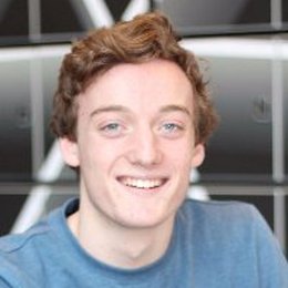
Kamiel Verhelst, one of our soon-to-be graduates, studied how social media can contribute to better mapping of the Sub-Saharan country Kenia. This bachelor thesis prepared him for an interesting future in Development Studies and Geo-Information Science (GIS).
“I applied for ATLAS to study a wide variety of subjects. First, I was looking at psychology, medicine, and biology, but soon I realized that I was more engineering-oriented. However, I wanted more. Eventually, I chose ATLAS not only for the combination of engineering with social science but also the experimental character of the program.” Looking back, Kamiel thinks the program was a perfect fit, and he learned much about challenging himself and solving problems. The most important he learned is to also prioritize; not everything is equally important.
“I have always been interested in GIS and throughout my ATLAS career, and I am planning to study the master program GIS in Wageningen. However, I think I do not have enough knowledge to contribute to the field of GIS, thus I want to gain a better theoretical knowledge base. Moreover, I wanted another study abroad experience, so I applied for the master program Development Studies at the University of Malaya in Kuala Lumpur, Malaysia. When finished, I want to pursue my studies in GIS.”
Kamiel’s bachelor assignment took place on the interface of developmental studies and geo-information science. He analyzed social media data to understand whether it could help in completing maps with roads and houses in Kenia. This is important, since many maps of Kenia are incomplete, which can be problematic in development of the country, but also during natural disasters. “I collected Tweets from Kenia with location information. For this, I wrote a script that automatically sent all Tweets from Kenia to my computer. I correlated this information with satellite images and existing maps and found that the social media data can indeed be helpful in improving existing maps.”
The project started with collecting all the data from social media, satellites and existing maps. Using statistics, Kamiel analyzed how the data looked and whether they could be related to each other. “My goal was not to design a model that could tell exactly which areas need better mapping. Instead, it was a feasibility study. I am very happy with the results, I have shown that it is possible to use Twitter to understand which areas need more map data. Unfortunately, social media is error-sensitive, there is no optimum possible. But understanding how you could model and what you can do with the data is most important.”
Kamiel presented his results and is ready to graduate on July 7: “I have learned to do a large research project and understand what is important to succeed. This will help me in both my future master programs, but also in my future career.”
University College Twente offers a unique bachelor’s programme, Technology, Liberal, Arts and Sciences, to top students. Visit the University College Twente website for more information about the college and Technology, Liberal, Arts and Sciences website for more information about the bachelor program. Or visit us during the open day, a student-for-a-day or an insight-day.


